Brunswick Easy Walks without a Car
The easiest car-free walks in Brunswick begin near a train station or tram stop and finish beside another public transport route. This removes the need to retrace every step. It also lets you adjust the distance if you feel tired, the weather changes, or daylight starts to fade. The Upfield Shared Path runs through Brunswick. Other nearby outings extend beyond the suburb: Merri Creek is beside Brunswick East, Moonee Ponds Creek is west towards Brunswick West and neighbouring suburbs, and Royal Park is to the south in Parkville.
The main idea is simple: plan the trip around your exit points before choosing the walking distance. A pleasant path can become awkward if the only way home is a long walk back. A route with several train and tram options gives you more control.
Which car-free walking area should you choose?
Choose the area by the type of walk you want, rather than by distance alone. The Upfield corridor suits simple urban walks with frequent shops and transport. Merri Creek suits people who want trees, water, and less road noise. Royal Park suits broad paths and open space. The Moonee Ponds Creek corridor feels more exposed and works well when you want a longer, steady walk.
These areas serve different needs:
- Choose the Upfield Shared Path when easy navigation and quick transport exits matter most.
- Choose the Merri Creek Trail when you want a greener setting and can manage some slopes near access streets.
- Choose Royal Park, Melbourne when you want open lawns, established paths, and strong tram or train access.
- Choose the Moonee Ponds Creek Trail when you want a longer linear route and do not mind stretches with fewer shops.
A map may make all four routes look close. The lived experience is different. Creek paths can sit below nearby roads, so a tram may be physically close but hard to reach without a steep ramp or indirect street connection. The Upfield corridor has more frequent crossings and visible landmarks. That makes it easier for a first visit.
Why does the Upfield corridor make a good first walk?
The Upfield Shared Path is the simplest place to learn how car-free walking works in Brunswick. It follows the rail corridor, so the line itself acts as a guide. You can start near one train station and finish near another. If you change your mind, nearby trams and buses give you other ways home.
The path passes through an active urban area. You will see homes, small parks, railway crossings, shops, and side streets. This is useful if you prefer a walk with people nearby. It also gives you places to buy water or pause away from the path.
The Upfield line makes one-way walks practical. Start around Brunswick or Jewell station, walk north or south beside the rail corridor, then board a train when you have covered enough ground. Check current service information before leaving because replacement buses can change where you board.
Rail transport offers one useful feature that drivers often overlook. Your starting point and finishing point do not need to match. That turns a short local path into a flexible route instead of a fixed loop.
What should you watch for beside the railway?
The shared path can become busy during commuter periods. Keep left, walk in a predictable line, and look behind you before moving around another person. Railway crossings also break the flow. Obey the signals even when the platform or next path section appears close.
Street crossings create natural decision points. At each one, ask whether you still feel comfortable continuing to the next station. This works better than committing to a distance based only on a phone map.
How can Merri Creek work without a return car trip?
Use public transport to reach the western side of Merri Creek, then treat the creek as one part of a wider point-to-point journey. The Merri Creek Trail runs north and south through a green corridor east of central Brunswick. Local streets connect it with trams and the Upfield line, though those links can add distance.
For a simple visit, enter near a well-known road crossing and walk in one direction until the next planned exit. Avoid picking an unmarked side path merely because it seems to point toward a station. Some side routes climb, curve, or finish at a fence. Stay on the main sealed trail until the exit shown on your map.
Merri Creek feels more removed from traffic than the rail corridor. That calm setting can make the distance seem shorter at first. The return climb to street level may take more effort than the flat creek section, so save some energy for the exit.
How do you avoid getting stuck with a long walk back?
Pick two exit points before you start. The first is your normal finish. The second is an earlier option near a road, bus route, or tram stop. Save both on your phone and note which side of the creek you need.
This small step matters because bridges are less frequent than ordinary street crossings. You may see your destination across the water but still need to continue to the next crossing. Follow signed connections instead of taking worn tracks down the bank.
If rain has fallen, expect damp leaves, mud beside the sealed surface, and shallow water in low spots. The main path may remain usable while informal edges become slippery. Turn back or use the earlier exit if water covers the route.
When is Royal Park the easier option?
Royal Park is a strong choice when you want more open space and several ways to shorten the day. It lies south of Brunswick and connects well with train and tram services. Broad sight lines also make orientation easier than on a winding creek path.
A practical trip starts with public transport to the park edge. Walk through the park on marked paths, then leave from another side near a service that suits your trip home. This gives you a genuine point-to-point walk without needing a complex route.
Royal Park, Melbourne includes open grass, shaded areas, sports grounds, and paths with different surfaces. Some sections feel exposed on hot or windy days. Choose a route near established paths if you want frequent seats, clearer crossings, or easier access to a Public toilet.
Do not judge the effort from the park size alone. Crossing a wide open area can add more walking than expected, especially if an attraction, station, or platform sits on the far side. Decide which boundary you will leave from before entering the central part of the park.
Is the Moonee Ponds Creek corridor suitable for an easy walk?
Yes, if you plan a short section with a clear transport exit. The Moonee Ponds Creek Trail follows a long north-south corridor west of Brunswick. It can feel quieter than the central shopping streets, but access from Brunswick may involve buses, trams, or a connecting walk.
Moonee Ponds Creek is more engineered in some sections than Merri Creek. Expect concrete channels, bridges, shared paths, and nearby roads. The route suits a steady walking pace because the main direction is usually clear. Shade and convenient shops can be limited on some stretches.
The name can also cause planning errors. Moonee Ponds is a suburb, while Moonee Ponds Creek extends through several areas. A search result for the suburb may place you well away from the trail section you meant to visit. Check the exact entry point and the nearest public transport stop.
Use this corridor for a planned outing rather than an unplanned wander. Confirm the path entrance, finish point, and return service before leaving Brunswick. Carry water on warm days because a nearby road does not always mean a nearby shop.
How do you build a route around trains and trams?
Start with the finish. Find a station or tram stop close to the place where you expect to get tired. Then work backward to a starting stop that gives you the distance you want. This approach is more reliable than choosing a scenic destination first and solving the return trip later.
Build the route in four parts:
- Choose the main walking corridor and one clear entry point.
- Mark an early exit and your preferred finish.
- Check the final service time, platform location, and walking side of the road.
- Save an offline map or take a screenshot showing the route between the path and transport.
Allow for the distance between the platform and the actual trail. A route listed as four kilometres may require another kilometre of street walking. Count those connecting sections when deciding whether the trip is easy for you.
Trams work well as flexible exits because several Brunswick routes run along major north-south roads. A train is often faster for the main trip, while a tram can be easier to reach from a side street. Pick the service with the simplest walking connection, even if the ride takes a little longer.
What makes a walk easy in real life?
An easy walk has more than a short distance. It has a surface you can manage, safe road crossings, useful rest points, and a clear way home. Heat, hills, crowds, and the walk from the final stop can change how the same route feels.
People often count only the scenic section. This leads them to miss the walk to the station, the platform change, and the final trip home from their local stop. Add every walking section when setting your limit.
Use time as a second measure. A slow walk with stops can suit you better than a shorter route rushed before the next service. Give yourself enough daylight to leave the path without hurrying.
What should you carry for a short local walk?
Carry water, sun protection, a charged phone, and the fare method needed for public transport. Add a light rain layer when the forecast is unsettled. These items fit in a small bag and solve the most common problems without adding much weight.
Footwear should match the least predictable part of the route. A sealed path may still have wet ramps, gravel edges, or leaves under bridges. Shoes with a stable sole are more useful than choosing footwear for the distance alone.
How can you keep the day simple?
Do fewer transfers. A route that needs a train, tram, and bus before the walk can feel harder than the walk itself. Choose one direct service where possible, then accept a short street connection.
Travel outside the busiest commuter period if you want more room and less pressure when boarding. Check accessibility details if stairs, steep ramps, or platform gaps affect you. A station that looks closest on a map may be harder to use than a slightly more distant stop with a gentler path.
Tell someone your route if you plan to walk alone beside a creek late in the day. Stay on visible paths and use lit streets for the final connection. If the route stops feeling right, take the first safe exit. A car-free plan should give you choices, not trap you into completing a set distance.
What should you do before leaving home?
- Choose one corridor based on the setting and surface you want.
- Set a normal finish plus an earlier transport exit.
- Check live train or tram information and include every connecting walk in your distance.
- Take water, charge your phone, and leave enough daylight for the final street section.
Plan the exit first, then walk only as far as the next transport option still feels comfortable.
Editorial fact check — 11 October 2026. These are route-planning suggestions, not measured or personally tested itineraries. Check path entrances, surfaces, accessibility, weather warnings and live public transport before leaving. Upfield path works near Moreland Road and Tinning Street may require a detour; do not assume the entire rail-side route is open. Sources: https://transport.vic.gov.au/news-and-resources/projects-hub/greater-melbourne/brunswick-tram-depot-upgrade and https://ceres.org.au/visit/. Creek access described for CERES is in Brunswick East.
Explore more local guides at https://brunswicklocal.pages.dev/.
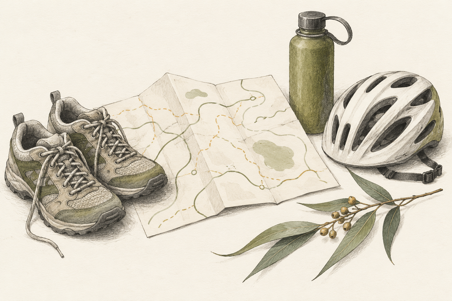
Image: AI-generated editorial illustration; it does not document a particular venue or visit.